Perhaps it isn't history at all, just the passage of time.
To the north, Harmony Township, to the east, Bath Township, and to the south, Brookville. To the west, Greensboro.
Er ... Green Brier.
Er ... Blooming Grove.
Big doin's? Well, actually not until around the middle of 1812, which isn't Blooming Grove's fault. It's that there wasn't much need for it until then. And until 1809, it wasn't legal anyhow. Complicated? Hardly, but it's worth a go.
Blooming Grove Township was founded in May 1817, and parts of it were once located in what is now Jackson Township in Fayette County, the area generally surrounded by the little town of Everton on State Route 1.
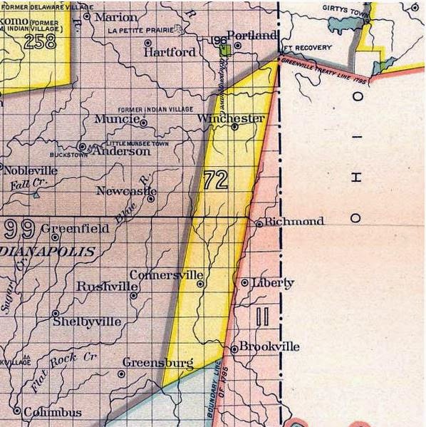
Greenville Treaty was, at the time of Fairfield's founding in 1815, the western border of "white country." The Twelve Mile Purchase shoved the line westward to where the Fayette County town of Orange is located.
Settlement in that area was slow at first until something resembling a road developed between the economically prosperous settlements of Brookville and Connersville. The spot almost smack-dab in the middle was where the little village of Greensboro was born. Probably not much more than a trading post, with the route to the east toward where Fairfield was growing and to the west (Posey Township) where the productive West Fork of the Whitewater took traders downstream.
To that end, as 1809 turned into 1812, the road got busier and the need for a stopping point somewhere between Brookville and Connersville seemed useful. Connersville was given town status in 1813 after being founded in 1808. Brookville was founded in 1808.
The 1882 Atlas of Franklin County says the first settlers in Blooming Grove Township were Jacob Blacklidge and Ralph Williams, who set up in 1811 near Duck Creek in the southwestern portion of the township.
The land was slowly bought up and the community was born along the "highway."
John Naylor and James Sherwood hired a surveyor named Joseph Allen to lay out the town in July 1816. They added a section the following winter and named their little hamlet Greensboro, which was the name of the town in Maryland from where they had emigrated.
Greensboro, it was.
The Atlas goes on to explain how it became something else before it became what it is. "The name ... was often perverted to Green 'Brier' by those who were interested in other towns than this one. Mr. Henry C. Hervey says, in a recent letter:
"The writer came to the town on the 1st day of September 1834 to being a six years' apprenticeship at a trade, which term he fully and faithfully served, and from that date to the present time has witnessed the growth and changes that have occurred. The oft-repeated statement about the original name of our village being Greenbrier is incorrect. The name was Greensboro."
So what went wrong?
When Greensboro applied to get a post office in the 1830s, the town was told that there was already a place by that name in Indiana. So they decided, since the township was Blooming Grove, so would be the name of the village. After that, the state legislature agreed that the town could change its name from Greensboro to Blooming Grove.
Many of the first settlers came in the period of 1816-1819.
The Atlas adds some interesting trivia:
* James Hughell was the first white child born in the township.
* James Webb had the first blacksmith shop.
* The first schoolhouse was built in 1817 in an area owned by James Harvey, whose property also contained the first graveyard, just east of town.
* William Richardson built an early mill on Duck Creek.

Joseph Williams was an early preacher, perhaps the first. The first church was known as Duck Chapel.
How the town relates to Fairfield is general in nature. Those who wanted to trade with Connersville and Brookville would have moved their goods across the river at various points. The covered bridge later on would have simplified that. Blooming Grove's location was perfect for that. As a commercial center began to develop west of the village, it became somewhat of a crossroads.
As times changed with the introduction of the Whitewater Canal, Blooming Grove's value diminished.
But you can still go there.
-- John
Sources: Ken LaMont posted the historical photos on Facebook. I've shamelessly appropriated them to illustrate this blog entry. Other information comes from generally available historical resources.

This school eventually became a community center.

An 1882 plat map of the town.

The road down the hill, east to Fairfield, 1947.

And you can get to New Fairfield from there.

Many names of the original settlers show up on on this 1882 map. Sherwood, Harvey, Naylor, Wagoner, Erb. Also note where the "mounds" are located. Those were archaeological sites of the ancient Mounds tribes who populated the Whitewater Valley literally thousands of years ago. (You may want to save the map to your computer to get a larger view of it.)
As an aside, I have suggested that goods went west across the East Fork on the covered bridge. The bridge itself did not exist until many years later, so we can assume that a fording of some sort occurred. There were shallow areas on the river at a place called Shawnee Ford.
ReplyDelete